

Wyden’s Unprecedently Good Wild and Scenic Rivers Legislation
February 15, 2021
By Andy Kerr
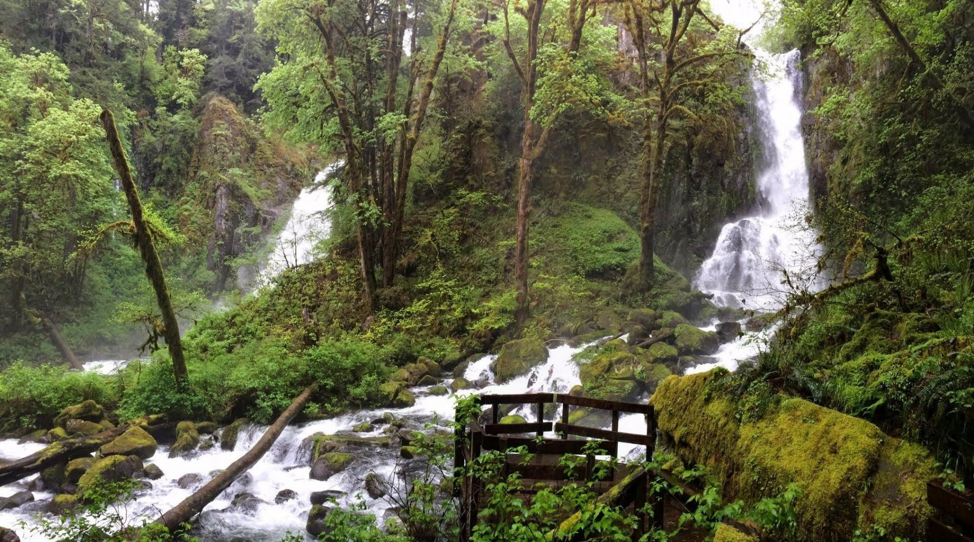
Featured Image: A moose using and enjoying the South Fork Umatilla River, part of the proposed Umatilla Headwaters Wild and Scenic River. Source: Forest Service.
Nearly 4,700 (yes, four thousand seven hundred) miles of Oregon’s free-flowing streams will be added to the National Wild and Scenic Rivers System if legislation introduced this past Wednesday by Senator Ron Wyden (D-OR) becomes law. Senator Jeff Merkley (D-OR) is cosponsoring the legislation (S.192; 117th Congress). It will be a few days before you can download an official copy, but you can get now a copy of the proposed legislation filed with the Senate clerk.

Existing and River Democracy Act-proposed wild and scenic rivers (click here for larger version). Source: Senator Wyden’s Office.
Check these out for yourself:
- a one-page overview of the legislation
- a section-by-section summary
- a map of the proposed new and expanded wild and scenic rivers
- quotes from a vast variety of Oregonians in favor of the legislation

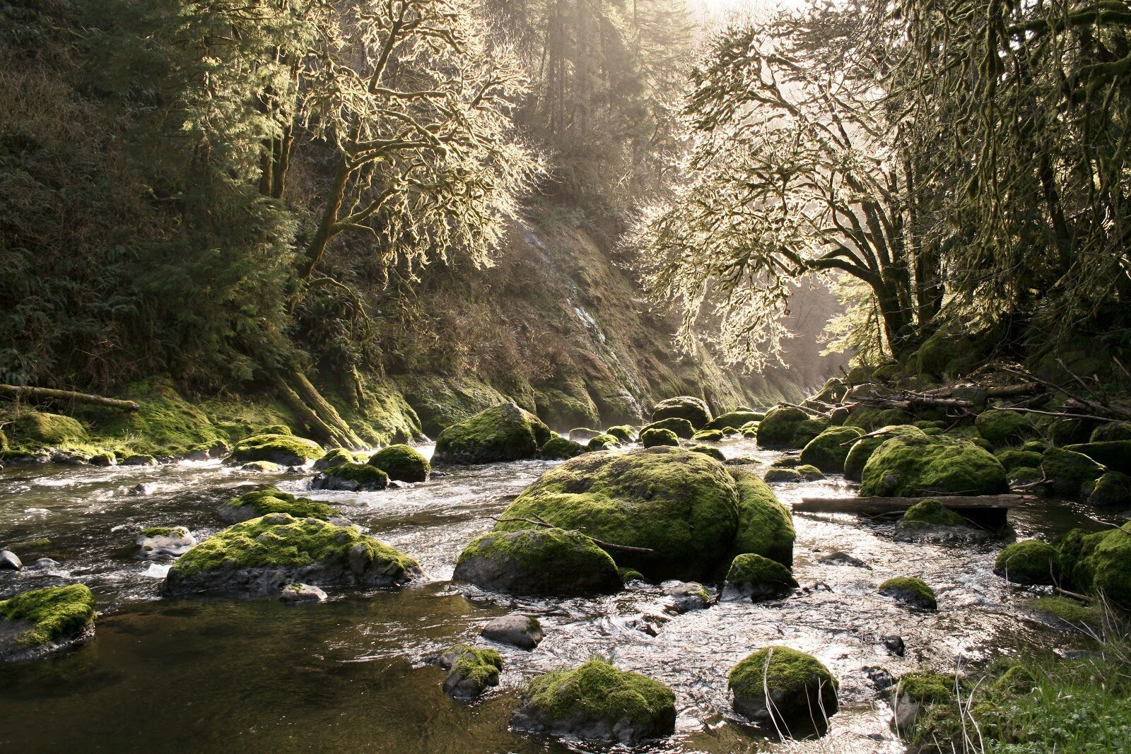
Tumalo Falls on the proposed Tumalo Creek Wild and Scenic River. Source: Oregon Wild.
Unprecedented in Scope
Today, Oregon has more units (but not miles) than any other state in the National Wild and Scenic Rivers System (NWSRS). The 69 units of the NWSRS in Oregon—totaling 2,424 stream miles—represent 31 percent of the individual units and 18 percent of the miles in the national system. The area of water and land protected in these Oregon units of the NWSRS is ~731,000 acres.
The proposed River Democracy Act (RDA) would expand 42 existing wild and scenic rivers (WSRs) and establish 81 new wild and scenic rivers. All the proposed new and expanded components are listed at the end of this post.
A guestimated additional 10,000 miles of Oregon’s 110,994 miles (but who’s counting?—Wyden is!) of streams qualify for wild and scenic river protection for the benefit of this and future generations.
Wild and scenic river status prevents dams and other water developments. The administering federal management agency (in this bill usually the Forest Service or the Bureau of Land Management) must administer the lands and waters within the protective corridor so as to “protect and enhance” the “outstandingly remarkable values” for which the component of the National Wild and Scenic Rivers System was designated.
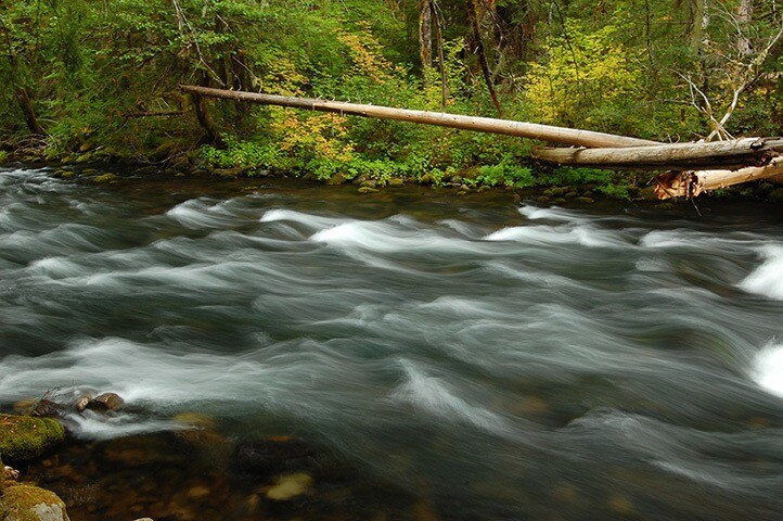
The West Fork of the Illinois River would be added to the Illinois Wild and Scenic River. Source: KS Wild
Unprecedented in Vision
The Wyden bill would not only add many miles to the NWSRS but also amend the Wild and Scenic Rivers Act (WSRA) to do the following:
- Put tribal governments on a par with state and local governments. In 1968, Congress wasn’t thinking about tribal governments when authorizing wild and scenic river cooperative agreements with state and local governments. The RDA would change that.
- Recognize the National Landscape Conservation System (NLCS). In the WSRA of 1968, Congress spelled out the relationship among the National Wild and Scenic Rivers System, the National Park System, and the National Wildlife Refuge System: where overlap exists, the most protective provision applies. The NLCS didn’t come into statutory existence until 2009 and needs to be included in this arrangement.
Portions of the Oak Grove Fork of the Clackamas River would be added to the Clackamas Wild and Scenic River. Source: Cheryl Hill.
The legislation also is pathbreaking in other ways specific to Oregon, proposing to:
- Identify “landscape connectivity” as an outstandingly remarkable value for all Oregon wild and scenic rivers. The proposed RDA says that “the components of the National Wild and Scenic Rivers System within the State of Oregon have the outstandingly remarkable value of landscape connectivity, with the components serving as habitat corridors that facilitate the vital movements of animals, plants, genes, water, and energy between and within ecosystems.” If we want functioning ecosystems across the landscape and over time, connectivity of all of nature’s parts is vital.
- Allow for ecological and hydrological restoration. Not all the WSR miles proposed for protection are pristine, nor do they have to be. Some could benefit from scientifically sound active ecological and hydrological restoration to better protect and enhance the outstandingly remarkable values for which the stream segment was designated.
- Acknowledge that stream flow doesn’t always start or stop at the Oregon border. The bill would include select segments of streams that flow into or out of our state.
- Encourage land acquisitions from willing sellers. The proposed RDA would encourage the administering agencies to acquire nonfederal inholdings from willing sellers in wild and scenic river corridors.
The proposed South Fork Crooked Wild and Scenic River would balance the North Fork Crooked Wild and Scenic River (also to be expanded). Source: Greg Burke.
- Include lakes, not just streams. The WSRA provides for the inclusion of small lakes, and Congress has sometimes done so. The proposed RDA recognizes that lakes are part of the hydrological stream system and that protecting streams without protecting the associated lakes is less effective conservation. I never met a natural lake I didn’t like, and some of my favorites included in the proposed RDA are Babyfoot Lake (botanical diversity), Lava and Little Lava Lakes (source of the Deschutes), Clear and Fish Lakes (on the McKenzie River), Waldo Lake (the purest large body of water in the world), Parsnip Lakes (Oregon spotted frog critical habitat), Crabtree Lake (surrounded by some of the oldest forest in Oregon), Shirk Lake (an intact desert lake), Hosmer Lake (the views!), another Lava Lake (fed by a wetland-forest ecosystem known as “The Parks”), Timpanogas Lake (source of the Willamette), Lily Lake (Oregon Dunes north), Threemile Lake (Oregon Dunes south), and Too Much Bear Lake (for the name alone).
- Include bogs, swamps, and associated wetlands. For several proposed WSR segments, the proposed RDA calls out “associated wetlands” for protection. So rather than the wild and scenic river boundary being measured from the main channel of the stream segment, the full associated wetland would be buffered as well. Sometimes the wetland feature is specifically called out in the proposed RDA by name—for example, Big Swamp downstream from Timpanogas Lake, Gold Lake Bog near Gold Lake near Waldo Lake, and Hunter Creek Bog near the western boundary of the Siskiyou National Forest. In my view the most visionary wild and scenic river would be an Upper Klamath Lake Marsh Wild and Scenic River that includes Crystal and Recreation Creeks. The creeks flow through a marsh within Oregon’s largest lake.

The proposed North Fork Wilson Wild and Scenic River. Source: Daniel Howland.
Unprecedented in Boldness
Saving a narrow corridor along a mainstem is often not adequate to protect the outstandingly remarkable values for which a stream segment is included in the National Wild and Scenic Rivers System, especially as “saving” it doesn’t necessarily preclude mining on federal public lands. The proposed RDA would do several things to improve matters:
- Protect capillaries, not just arteries. Building on previous successful additions of significant tributaries to the Rogue and Elk Wild and Scenic Rivers, Wyden’s bill, in many cases, continues the trend of protecting not just an artery but also vital capillaries. The outstandingly remarkable values associated with a mainstem river or creek are often reliant on tributary streams.
- Protect “immediate environments.” Under the standard application of WSRA, the protection of “immediate environments” (the lands essential for the conservation of the wild and scenic river) is limited to a protective corridor with a maximum area of no more than 320 acres per mile of protected stream. This generally averages out to about 0.25 mile from each stream bank. The proposed RDA would increase the protection zones for WSRs established or expanded, now and in the future, in Oregon to 640 acres per stream mile, or an average of 0.5 mile on each side of the stream segment. Until the administering agency completes the comprehensive management plan, the interim boundary is 0.5 mile each side. In the final plan, the agency can move the line farther out (and correspondingly somewhere else closer in) to better protect outstandingly remarkable values, but the overall protected acreage remains the same.

The proposed Middle Santiam Wild and Scenic River. Source: Chanda LeGue, Oregon Wild.
- Fully prohibit mining. The default setting in the WRSA for mining is that those stream segments classified as “wild” are protected from mining on federal public lands within the protective corridor. Those segments classified as “scenic” or “recreational” remain open to mining. That has long bothered Wyden, who has in his recent earlier wild and scenic rivers bills that were enacted into law specified that all the stream segments, however classified, be protected from mining. The proposed RDA would amend the WSRA to fully protect from mining on federal lands all stream segments protected in this bill and any bill in the future in Oregon. Also, the mining ban would be applied to all of Oregon’s “scenic” and “recreational” stream segments established previously.
- Group related wild and scenic river segments. The proposed RDA groups related stream segments into the same wild and scenic river so as to facilitate better and more efficient management. The proposed or expanded WSR stream segments are often grouped by watershed but sometimes by mountain range (for example, Trout Creek Mountains, Pueblo Mountains, West Steens, East Steens).

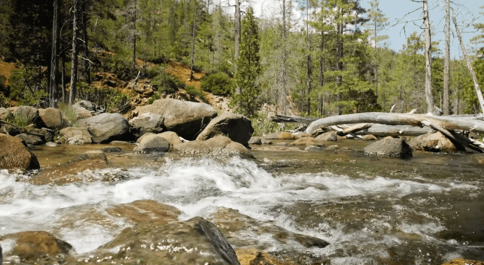
Where Wall Creek joins the North Fork John Day River. The existing North Fork John Day Wild and Scenic River would be expanded to include more of the mainstem and vital tributaries. Source: Jamie Dawson, Oregon Wild.
- Protect headwaters where appropriate. The usual term of art in legislatively defining the upper terminus of a wild and scenic river has been “from its headwaters.” More than once the administering agency has interpreted this to be the point where the headwater streams conjoin but not the headwaters themselves. The proposed RDA uses language (“from and including the headwaters”) that ensures that headwaters are protected, where appropriate.
- Include “all perennial tributaries” of Baldface Creek. For the Baldface Creek segment that would be added to the North Fork Smith Wild and Scenic River, the proposed RDA would designate “Baldface Creek from and including the headwaters, including all perennial tributaries, to the confluence with the North Fork Smith.” Named or not, if the stream is in the Baldface Creek watershed and flows all year, it would be part of an expanded North Fork Smith Wild and Scenic River. (Credit is due here to Senator Merkley, who first used identical language in his proposed Smith River National Recreation Area Expansion Act, S.2875, 116th Congress, which Wyden cosponsored.)
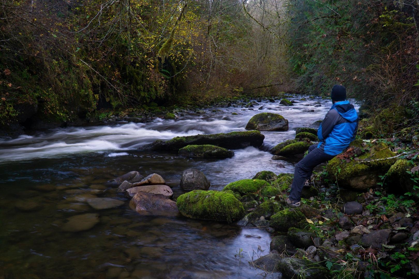
Segments of the Little Sandy River would be added to the Sandy Wild and Scenic River. Source: Daniel Howland.
- Confer full watershed protection for Rough and Ready Creek and Waldo Lake. Just over the Smith-Rogue Divide from Baldface Creek is the upper watershed of Rough and Ready Creek. Besides being the most botanically diverse watershed in Oregon, the upper watershed has lots of named and unnamed tributaries that are hydrologically intimate—above and below ground—with many serpentine wetlands. To fully protect the outstanding remarkable values of the upper Rough and Ready Creek watershed, the Wyden bill proposes that the entire upper watershed be designated a wild and scenic river, not settling for protective corridors that leave out important lands and features. The entire watershed of the ultra-pure Waldo Lake would also become part of the National Wild and Scenic Rivers System. One-third of the lake’s watershed includes the lake itself.
Kentucky Falls on Kentucky Creek on the North Fork Smith would be part of the Smith Wild and Scenic River in Douglas County. Source: Chanda LeGue, Oregon Wild.
- Confer complimentary protections to safeguard the water quality of the Illinois Wild and Scenic River. While the RDA is mostly a bill that designates more wild and scenic rivers for Oregon, Wyden recognized that—given the threat of industrial-scale open-pit mining for nickel in the river’s watershed—expanding the Illinois Wild and Scenic River in southwest Oregon is not enough. Wyden, along with Merkley and Representative Peter DeFazio (D-4th-OR), has long sought to withdraw the watersheds of Rough and Ready Creek, Baldface Creek, and Hunter Creek from mining on federal lands. Separate legislation doing this is expected to be reintroduced in this new 117th Congress. To protect the water quality of an expanded Illinois Wild and Scenic River from mining pollution, the proposed RDA would also mandate protection for essential serpentine wetlands in the area and all Bureau of Land Management Areas of Critical Environmental Concern (ACECs) and Forest Service Special Interest Areas (SIAs) in the Illinois watershed. The ACECs and SIAs are generally open to mining now, but that would end. The Forest Service and the BLM would be mandated to fully protect the essential serpentine wetlands they have identified or will identify.
- Include other good provisions. Other provisions in the bill protect valid existing rights to mining on federal public lands, water rights under state law, private property rights, and tribal rights.

Fall River would be added to the Deschutes Wild and Scenic River. Source: Oregon Wild.
The Politics
Most Oregonians love their wild and scenic rivers. Recent polling shows that an astounding 87 percent of Oregonians favored the establishment and expansion of more wild and scenic rivers. This included 96% of Democrats, 75% of Republicans, and 87% of Independents. Opposition was 7 percent.
Some of us Oregonians feel the love only after some period of time has passed since a wild and scenic river was established. A small but vocal minority of Oregonians, fearing a change in the status quo, have traditionally opposed granting wild and scenic river status to specific river segments. However, the passage of time brings a realization that wild and scenic river status protects the status quo: no dams, no clearcutting, etc.
Alas, then there is the implacable and even smaller minority who never come to feel the love. Their opposition is both visceral and ideological: they don’t like government, they love “progress” (which to them means more dams, roads, logging, and mining), and they don’t like conservation for the benefit of this and future generations.
The political stars are aligning, with Democrats, for the time being, in charge of the Senate, the House of Representatives, and the White House. Early evidence that the worm has turned: five of the six senators and two members of Congress from the states within the range of the northern spotted owl have sent a letter asking the inspector general of the Interior Department to investigate whether now former Interior Secretary David Bernhardt violated the law in his decision to strip protections for the species listed as threatened under the Endangered Species Act. From their letter:
The decision to strip these critical habitat protections is as bewildering as it is damaging. Last year, USFWS initially proposed removing only roughly 200,000 acres of protected habitat and just last month, the agency determined that uplisting the Spotted Owl to endangered status was “warranted but precluded” by higher priority actions. Apparently those higher priority actions include ensuring the extinction of the species through the destruction of over 3.4 million acres of its critical habitat.
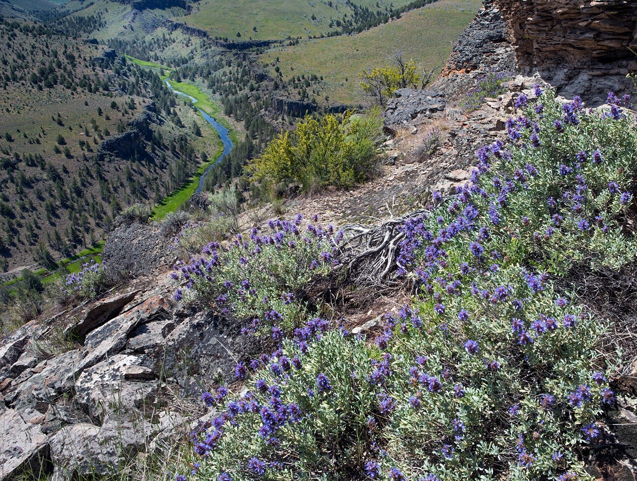
Big Sheep Creek is proposed for addition to the Imnaha Wild and Scenic River. Source: Daniel Howland.
The letter was penned by Senator Ron Wyden (D-OR) and cosigned by Senators Jeff Merkley (D-OR), Dianne Feinstein (D-CA), Patty Murray (D-WA), and Maria Cantwell (D-WA), and Representatives Earl Blumenauer (D-3rd-OR), Jared Huffman (D-2nd-CA), and Raúl Grijalva (D-3rd-AZ). Grijalva is chair of the Committee on Natural Resources of the House of Representatives.
Other evidence: President Biden has directed the Interior and Agriculture Departments to report to him on measures that can be taken to ensure that 30 percent of the nation’s lands and waters are in “protected area” status by 2030. Senator Merkley is an original cosponsor of a 2019 Senate resolution endorsing “30 by 30” (S.Res. 372, 116th Congress), part of a broader global initiative meant to protect biodiversity and mitigate climate change impacts. We can hope that Senator Wyden will also cosponsor the 30 by 30 resolution.
The proposed RDA would significantly contribute to meeting the 30 by 30 goal for Oregon. It’s entirely likely that the proposed legislation can pass this new 117th Congress just in time for Wyden to have bragging rights as he seeks another term in the Senate in 2022. Enactment of the River Democracy Act would be great not only for Wyden to run on but also as an important legacy from his time in office.
Say Thank You
Please take time to thank Senator Wyden for his proposed River Democracy Act. You can email him through his website. If you tweet: @RonWyden #WildAndScenicOregon.
The mainstem of the proposed Drift Creek Wild and Scenic River in the watershed of the Siletz. Source: Conrad Gowell.
The Proposed Expanded and New Wild and Scenic Rivers in Oregon
Expanded
- Chetco
- Clackamas
- Deschutes
- Donner und Blitzen
- Eagle Creek (Baker County)
- East Fork Hood
- Elk Creek
- Grande Ronde
- Illinois
- Imnaha
- Jenny Creek
- John Day
- Joseph Creek
- Little Deschutes
- Lobster Creek
- Malheur
- McKenzie
- Metolius
- Middle Fork Hood River
- Molalla
- Nestucca
- North Fork Crooked
- North Fork John Day
- North Fork Malheur
- North Fork of the Middle Fork Willamette
- North Fork Owyhee
- North Fork Smith
- North Fork Sprague
- North Powder
- North Umpqua
- Owyhee
- Quartzville Creek
- Rogue
- Sandy
- Snake
- South Fork Clackamas
- South Fork John Day
- Upper Rogue
- West Little Owyhee
- White
- Whychus Creek
- Zigzag
New
- Applegate
- Applegate Headwaters
- Bear and Deer Creeks
- Bear Creek Headwaters
- Black Canyon Creek
- Blue
- Breitenbush
- Brice Creek
- Buck Creek
- Burnt
- Calapooia
- Canyon Creek
- Cedar Log Creek
- Chewaucan
- Cottonwood Creek
- Crabtree Creek
- Crooked Creek
- Deep Creek
- Drift Creek (Siletz)
- East Steens Mountain
- Fairview Creek
- Fall Creek (Jackson County)
- Fall Creek (Lane County)
- Forks of Carberry Creek
- Forks of the Burnt
- Forks of the Walla Walla
- Guano Creek
- Headwaters of Pine Creek
- Honey Creek
- Hosmer Lake
- Hunter Creek
- Jack Creek
- Lava Lake
- Little Applegate
- Little North Fork Wilson
- Marks Creek
- Meacham Creek
- Middle Fork Fivemile Creek
- Middle Fork John Day
- Middle Fork Willamette
- Middle Santiam
- North Fork Siletz
- North Fork Trask
- North Santiam
- Ochoco Creek
- Odell Creek
- Oregon Canyon Mountains
- Oregon Dunes
- Pipe Fork
- Pistol
- Pueblo Mountains
- Rattlesnake Creek
- Scotch Creek
- Seldom Creek
- Silver Creek
- Silvies
- Sitka Spruce
- Sixes
- Smith (Curry County)
- Smith (Douglas County)
- South Fork Alsea
- South Fork Coquille
- South Fork Crooked
- South Fork Indian Creek
- South Fork Little Butte Creek
- South Fork Sprague
- South Santiam
- Still Creek
- Succor Creek
- Trout Creek Mountains
- Tumalo Creek
- Twelvemile Creek
- Umatilla Headwaters
- Upper Klamath Lake Marsh
- Upper Warm Springs
- West Fork Hood River
- West Steens Mountain
- Willamina Creek
- Williamson
- Winchuck
- Yachats
Originally appeared on Andy Kerr’s Public Lands Blog on Feb. 5, 2021.

Andy Kerr is the Czar of The Larch Company and consults on environmental and conservation issues. The Larch Company is a for-profit non-membership conservation organization that represents the interests of humans yet born and species that cannot talk.
He is best known for his two decades with the Oregon Wild (then Oregon Natural Resources Council), the organization best known for having brought you the northern spotted owl. Kerr began his conservation career during the Ford Administration.
Through 2017, Kerr has been closely involved in with the establishment or expansion of 46 Wilderness Areas and 47 Wild and Scenic Rivers, 13 congressionally legislated special management areas, 15 Oregon Scenic Waterways, one proclaimed national monument (and later expanded). He has testified before congressional committees on several occasions.